Embedded Files

San Jacinto Boulder Basin Camp Ride
July 19th and 20th
This is a two day adventure motorcycle ride around the mountains of Southern California.
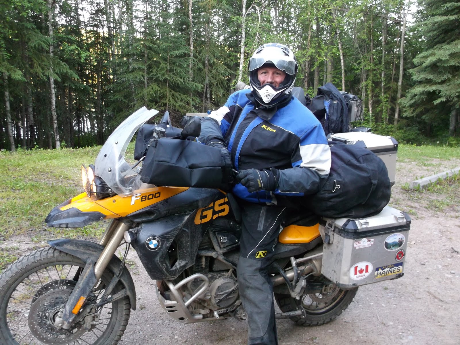
The ride is perfect for big adventure bikes
Ride day one is 123 miles and is a mix of graded dirt roads and pavement.
The day will have two optional harder dirt sections for intermediate to advanced riders.
The routes takes us along the Main Divide Trail in the Santa Ana Mountains near the coast then over to the San Bernardino Mountains. The afternoon routes takes us up mount San Jacinto the dirt backway known as the Poppet Truck Trail. Finally we climb the Black Mountain Truck Trail to 7500 feet to our camp ground. We will spend the evening at Boulder Basin Campground.
The campground is just under the Black Mountain Lookout Tower, you should take the short hike to the lookout.
This is what camp should look like
But check this out last time we were there? Yes in 2012 it had snow on the ground

and Yes you will need to cook your own dinner!

Saturday evening we will have a Pot Luck Happy Hour. So everyone should bring something fun to share.
You will be cooking your own dinner so come prepared.
Evening we will have a campfire and tell ride stories. Remember to bring some chair for relaxing after the ride.
Sunday
Morning breakfast is in camp, you're on your own. Who is making coffee?
Ride day 2 is 122 miles. We leave camp and ride through the town of Idyllwild then down off the mountain and the back way through Hemet over to Anza with option to ride the backside of Palomar Mountain Truck Trail.
There are 3 harder dirt option for the day: NFS 5S06 and 5S15(Rouse Hill) and Palomar Truck Trail

Click on the map to view full size
This is a gps led ride, you are given a gps card for your garmin gps unit and a paper map.
You should arrive with a friend or hook up with other riders right before the ride.
All riding and navigation is on you own. We do not encourage riding alone.
If you need help with your gps before the ride there are several people that can help you.
View the ride in Google maps below
OK since many of you might like to study more detail about the ride, below are the ride maps.
I put these ride maps on the web page because I know a few of you love looking at the ride detail and dreaming about the ride. At first glance these maps do not look so impressive, but they are way cool. If you click the Earth or Satellite tab and start zooming in, you can see the ride in incredible detail. I have spent a ton of hours sorting through the details of the ride for each day, so for those of you that enjoy this sort of thing, well enjoy!
Note: In the Download window, from the file menu, select FIle:Download. That will get you everything.
To install your Custom Garmin Ride Map, get a blank SD card, and copy the folder "garmin" to the card. Then just put the card into your gps and the map should be there when you turn your gps on.
Note the download includes a jpg file for printing your own paper map
FAQ: What garmin folder? The folder named garmin should have the "gmapsupp.img" file inside. If you just downloaded the "gmapsupp.img" file, then you need to create a folder on your SD card named garmin and put the "gmapsupp.img" flie in it.
Return to California Adventures Ride Home
Page updated
Google Sites
Report abuse