Embedded Files
A track has been created to link the Thark Ridge Track to the Devils Throne Track, rather than the existing track which could be dangerous at times and also subject to erosion. See this page for details
A track has been created to link the Thark Ridge Track to the Devils Throne Track, rather than the existing track which could be dangerous at times and also subject to erosion. See this page for details
The bulk of the items below relate to the reroute of part of the track to devils throne that was carried out during 2017 and 2018. Other items are on the clearing of the remainder of the track from the end of the reroute through to Devils throne itself and carried out during 2018 and 2019.
Initially the report of the reroute project from Adrian Blackman is shown followed by details on the rerouting and the existing track clearing work.
The Friends of Wellington Park in conjunction with Parks and wildlife Service have rerouted the track that crossed a wet area on the way to Devils Throne. The story of the work is below followed by reports from the various working days.
Story of Reroute
Story of Reroute
Drier Devil
Drier Devil
Written by Adrian Blackman, Secretary of the Friends of Wellington Park.
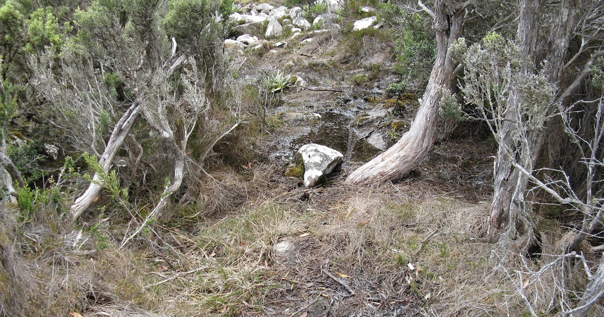
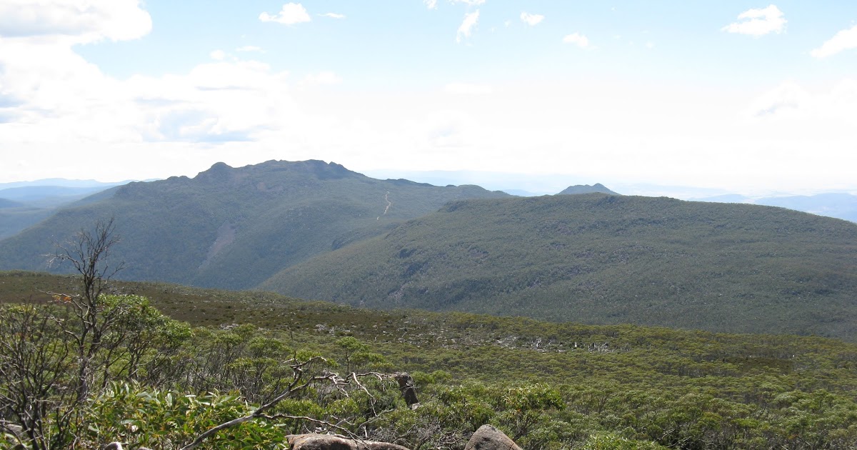
Devils Throne consists of several rocky outcrops on the Wellington Range to the west of kunanyi / Mount Wellington. Standing on top of one of the cliffs there gives splendid views below of the Huon Valley and Huonville to the southwest and a wide vista of most of the mountains of the Wellington Range towards the north. Part of the walking track to Devils Throne has just been rerouted by the Friends of Wellington Park thereby avoiding a long, wet and degraded section—a drier walk to the ‘Devil’ is now possible.
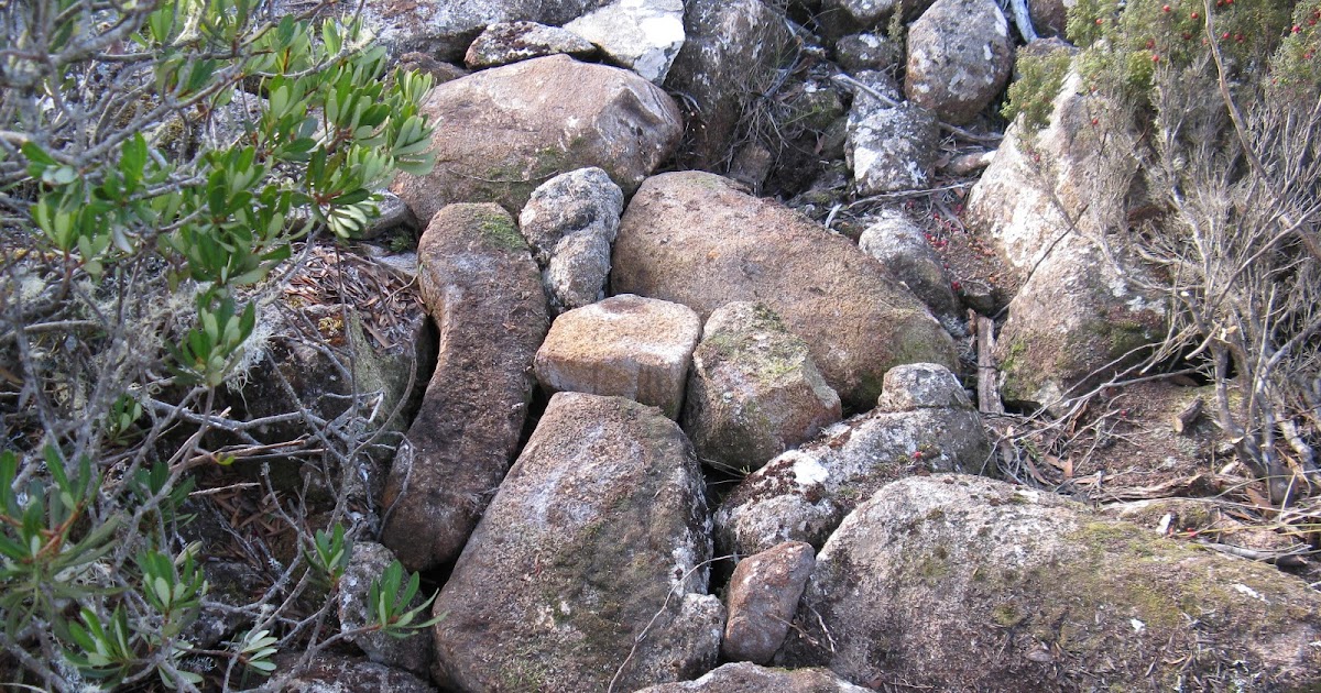
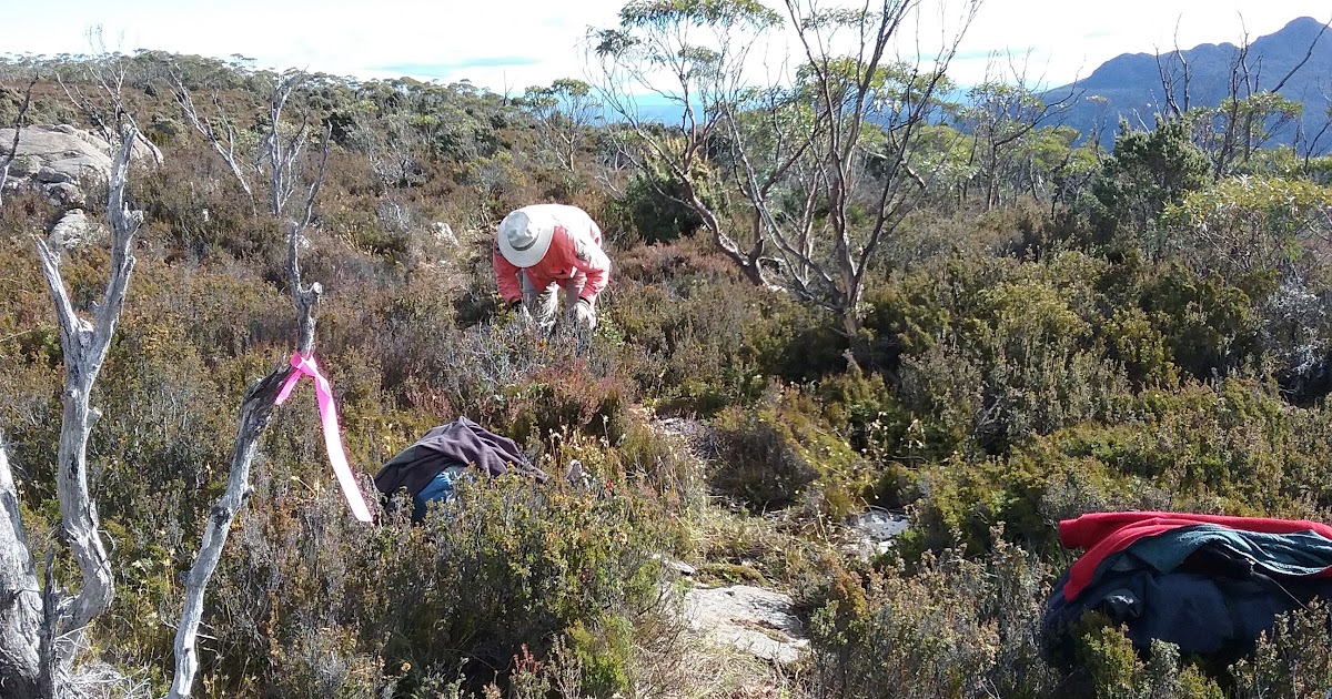
To get to Devils Throne one starts at the car park just past Big Bend and follows the Thark Ridge track (itself recently improved by the Friends of Wellington Park). Once the ridge saddle is reached the track to Devils Throne branches off to the right (the main track leads to Mount Montagu). The old track from here to Devils Throne was 2.7 km long. Part of it traversed a plain and was usually wet and boggy; additionally, sections were becoming wider due to walkers trying to avoid the water. Peter Franklin, president of the Friends of Wellington Park, came up with the idea of rerouting this section onto nearby rocky ground to improve walker enjoyment and to lessen environmental impact. Parks and Wildlife personnel agreed and they together with the Friends group surveyed the new route.
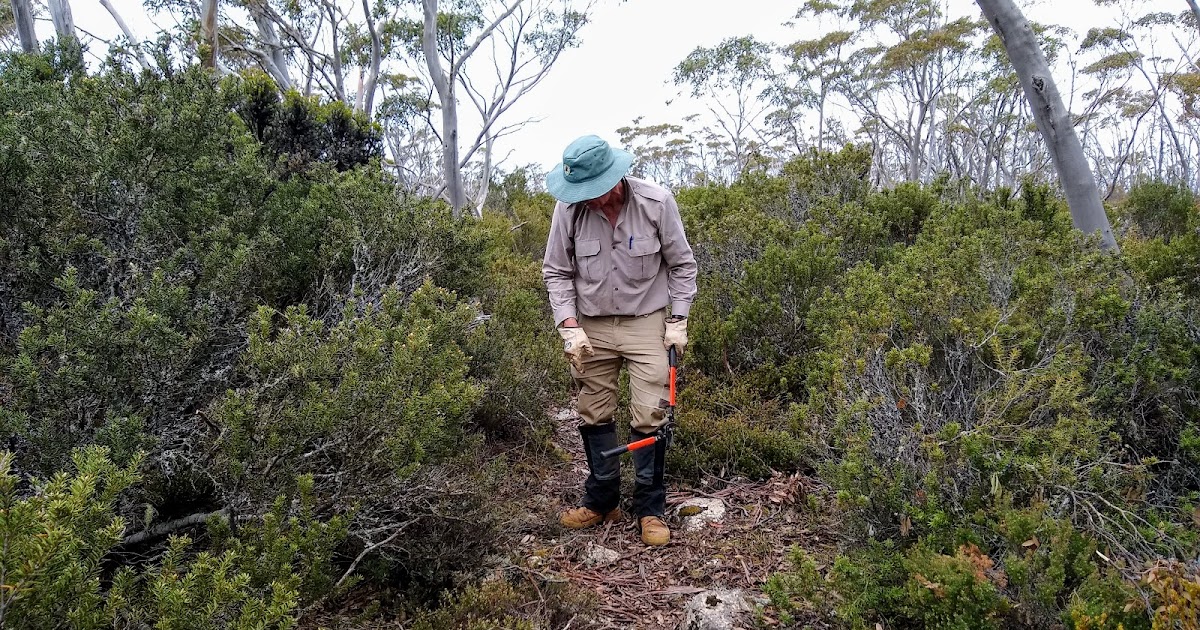
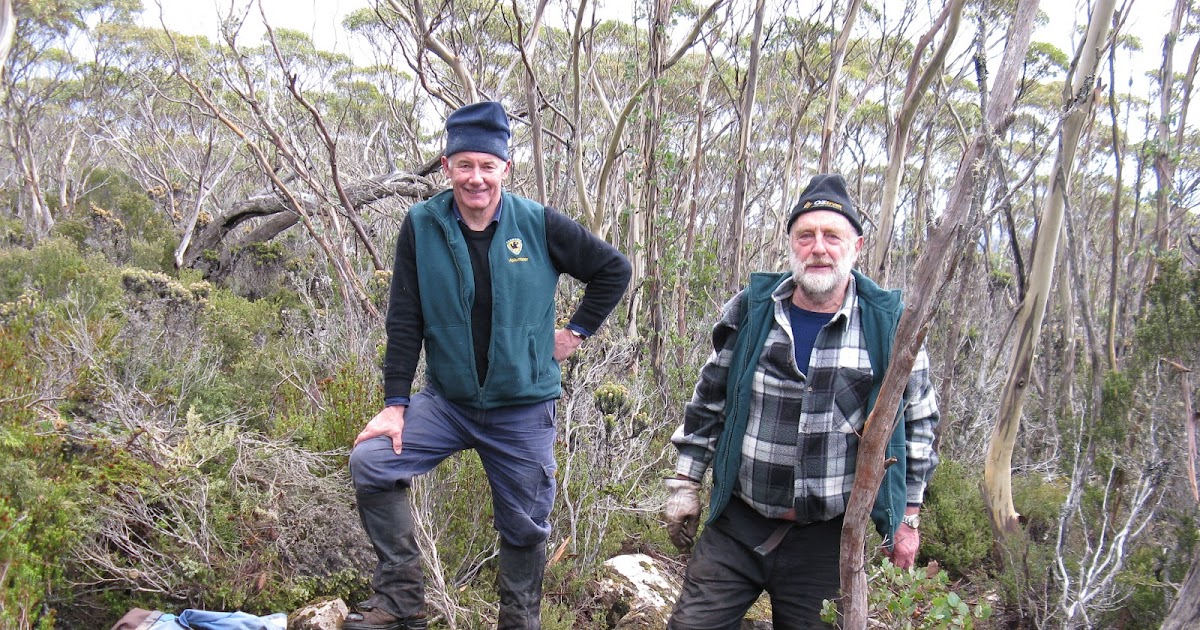
The new section of track was planned to be 800 metres in length, a daunting task for volunteers to construct. The undertaking was made more difficult since the site is about 1100 metres in elevation and it takes a little over one hour to walk there (tools had to be carried too!). Work commenced in February 2017 and was completed four months later in mid June. Towards the end of this time the winter weather became a problem in selecting suitable visiting times and occasionally there were small patches of snow on the ground while working. A total of five days were spent building the new section of track. Volunteers from both the Friends of Wellington Park (who are also Wildcare members) and the RAMBOs walking group contributed many hours to the project with Peter’s enthusiastic coordination. Parks and Wildlife personnel took an overall supervisory role and also helped with the construction several times.
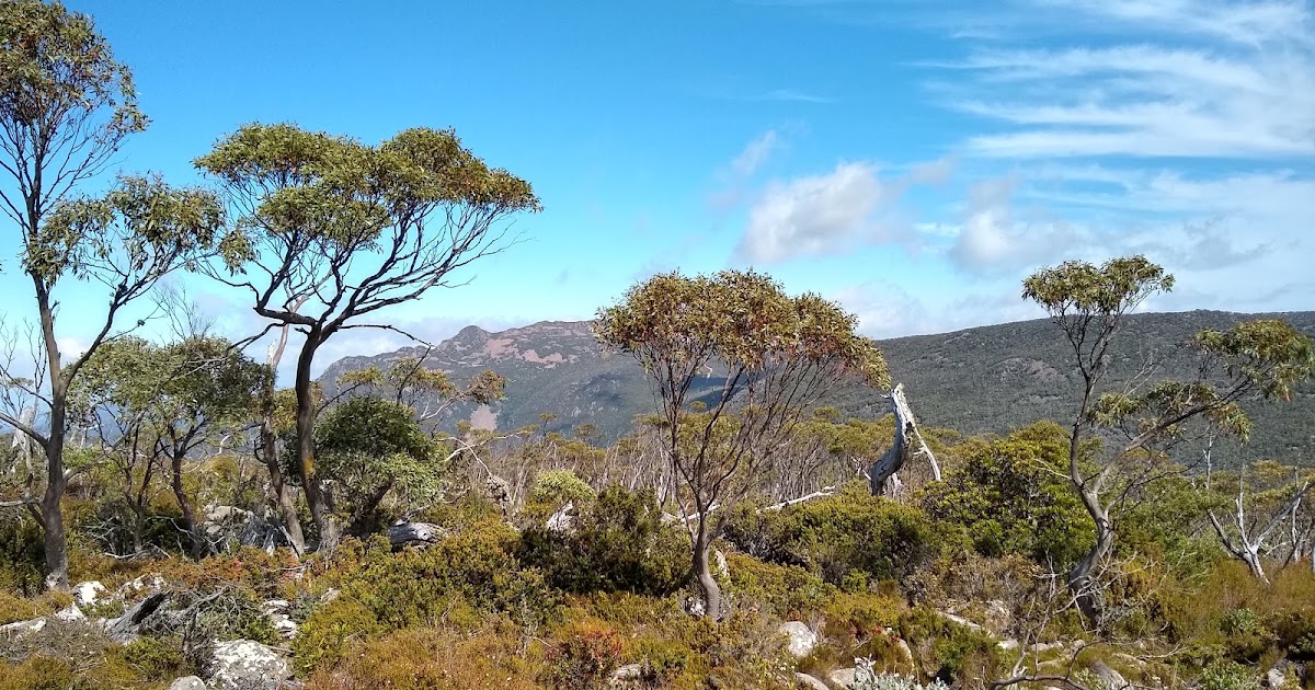
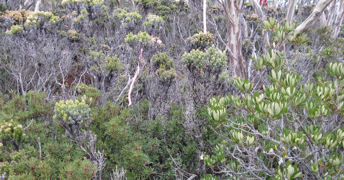
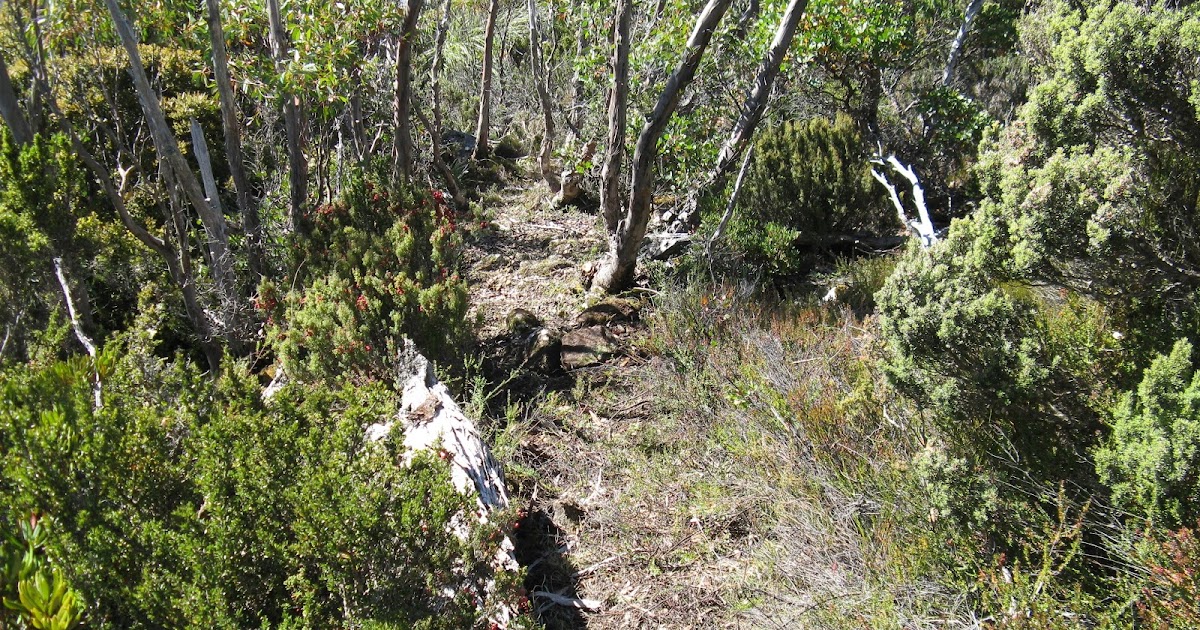
Since the new track section is now on hard ground there will be less damage to the surroundings caused by walkers. A part traverses an interesting eucalypt woodland. An additional bonus gained is the improved view—down into the Mountain River valley and then up to Collins Bonnet and Mount Connection. These benefits were gained by removing and trimming vegetation, moving rocks aside and also by placing locally sourced rock into hollows and a few potentially wet spots to make a firm, flat and dry walking surface. The old section of track has now been closed for rehabilitation.
The walk to Devils Throne from Thark Ridge is now 2.8 km long and is a combination of old and new sections. A local walking group has already used the new track and has expressed their appreciation and thanks. Additional future improvements are envisioned to older sections of the track and these include bypassing a steep boulder field and trimming of encroaching vegetation.
The one way walking distance from the car park to Devils Throne is 4.7 km so a visit there can easily be accomplished in a day. As an aside it is possible to take a different route back and this circuit walk is recommended for the more experienced walker. This is on a more southerly, track leading back to the Thark Ridge track. Once there a short detour leads to the ‘Municipal Marker’ a historic rock cairn marking the intersection of the boundaries of Glenorchy, Hobart and Kingborough Municipalities.
Details on Devils Throne
Details on Devils Throne
A web page gives details on the condition of the crossing over the wet area that has now been rerouted. It also includes details of where the new route was proposed to go and the vegetation on that route.
History of Action Taken
History of Action Taken
Progress on the reroute project
Progress on the reroute project
Set out on the left below are the various days working on the rerouted track during 2017 as related in the article above
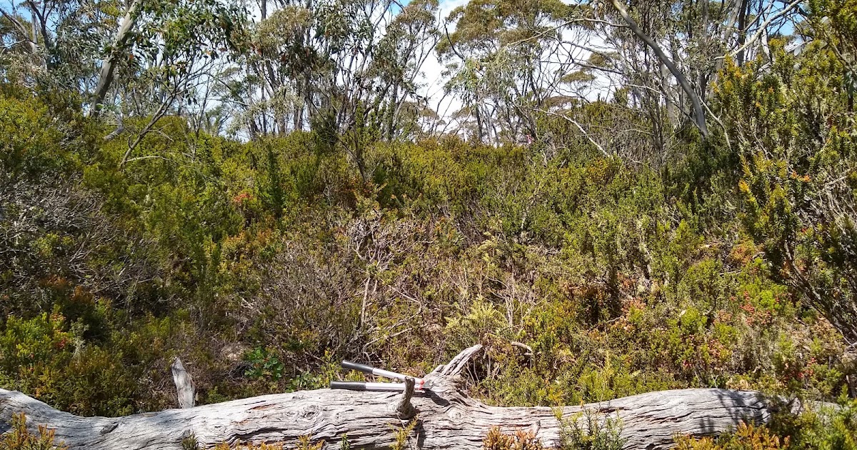
Clearing progress
Clearing progress
On the right side is the work to clear the existing track from the end of the reroute through to Devils Throne itself.
This work was completed over four sessions over a two year period.
Page updated
Google Sites
Report abuse