Embedded Files
The area map is at this page
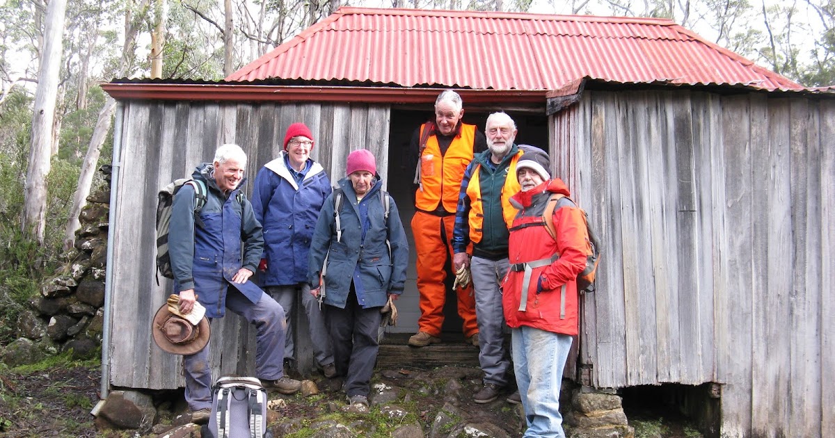
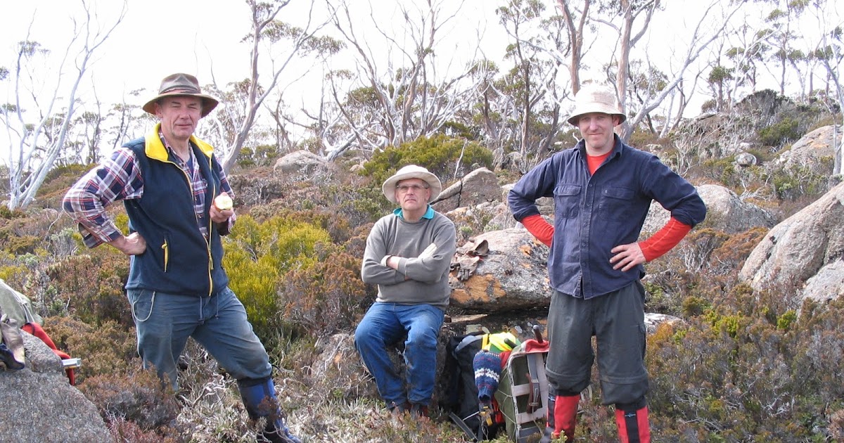
The FOMF have worked on the network of tracks in the Mount Field East area since 2002
This page is on the part of the track that leaves from Lake Fenton and crosses Windy Moor to the summit of Mount Field East. Other pages deal with the Seagers Lookout track that branches from it and the Lake Nicholls track that forms the circuit walk to the summit. The short track to Beatties Tarn is also recorded separately.
At selected locations the coordinates are held along with photos matching the sites. They are maintained on separate pages
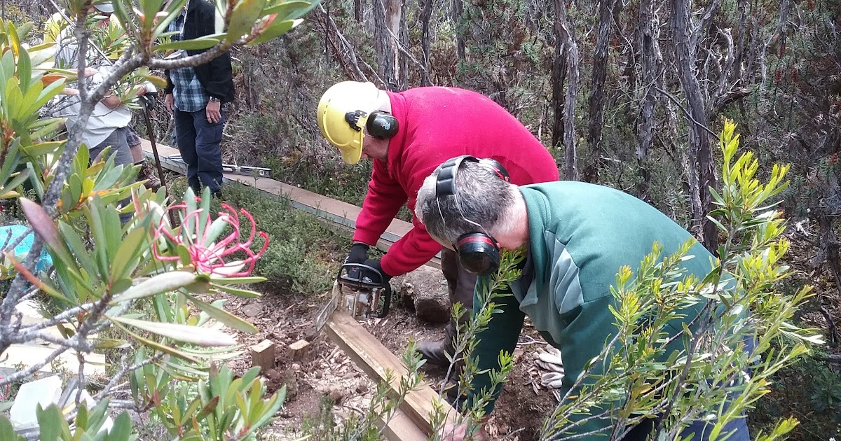
Summary of the Work on the track between Lake Fenton and Mount Field East
Summary of the Work on the track between Lake Fenton and Mount Field East
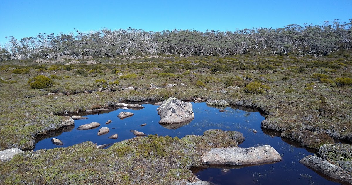
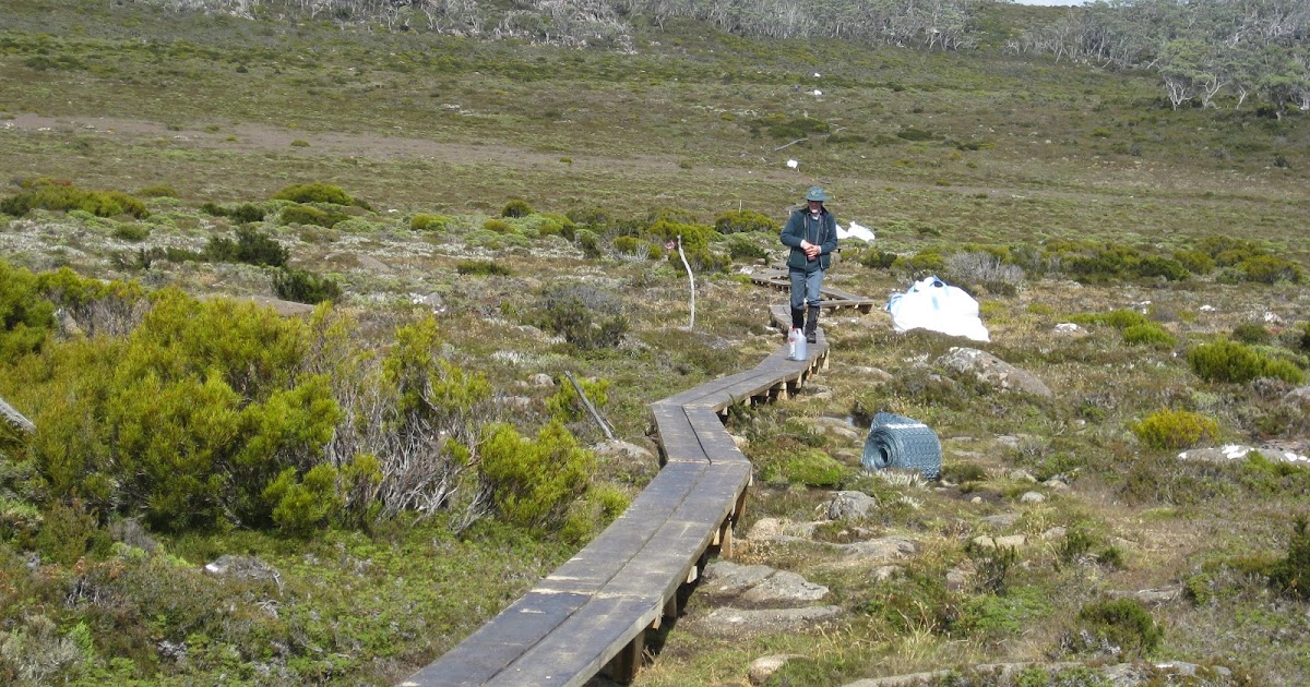
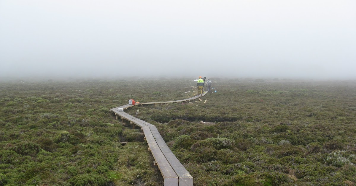
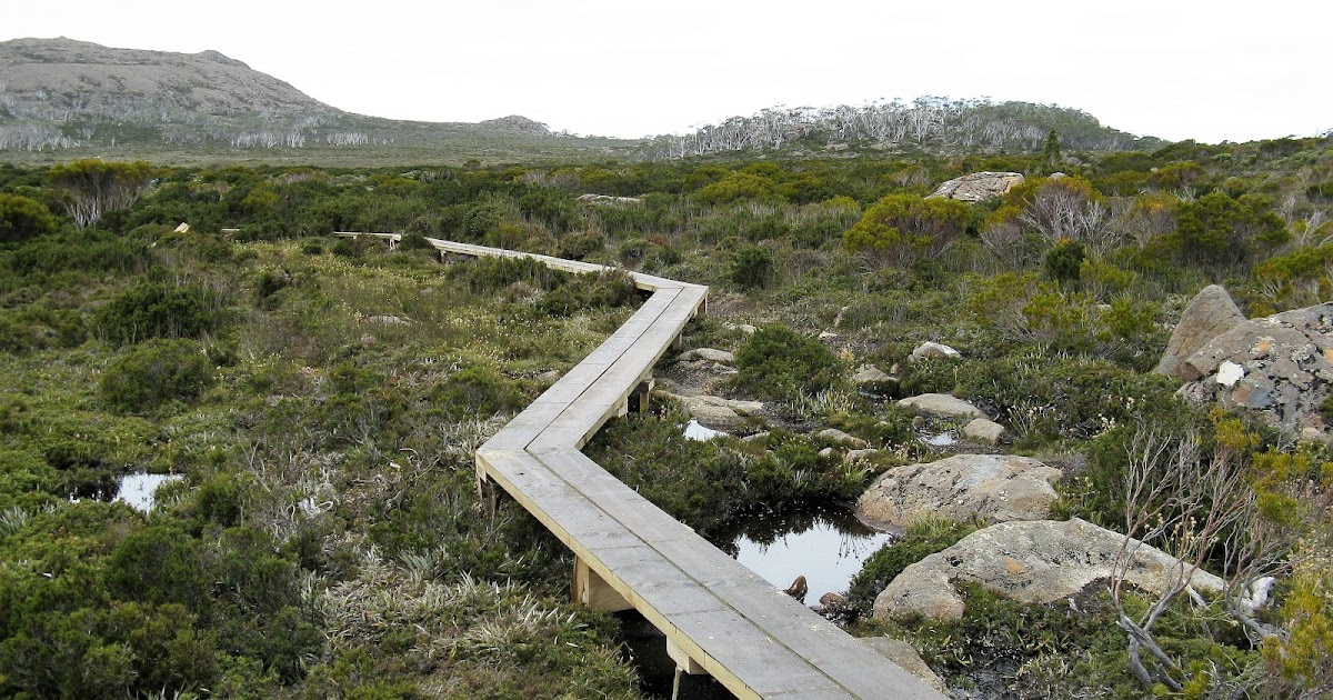
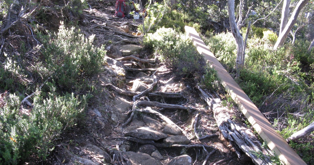
The Plateau Prior to Windy Moor
The Plateau Prior to Windy Moor
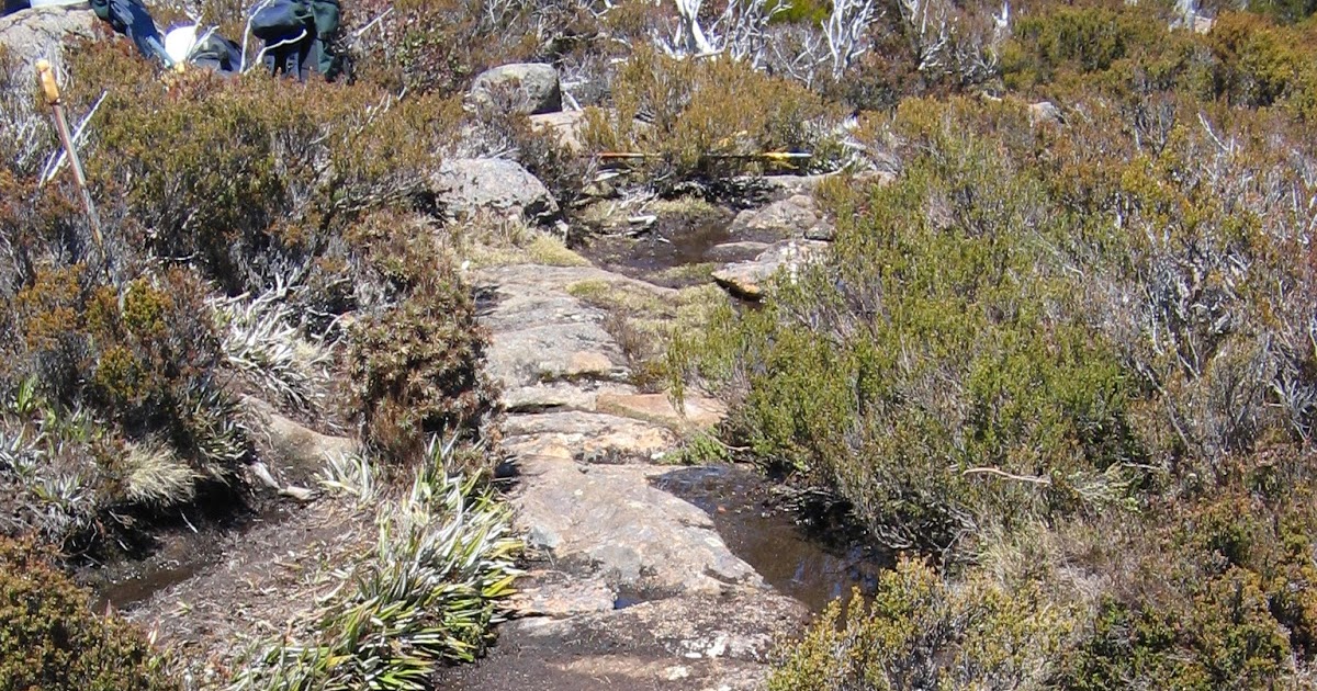
The area is quite flat and there is little opportunity for water to easily drain away, with the consequence being a very muddy and degraded track Some of the bogs were so deep that when large boulders were rolled to fill them they simply disappeared from site and had to have a second boulder rolled in to go on top.
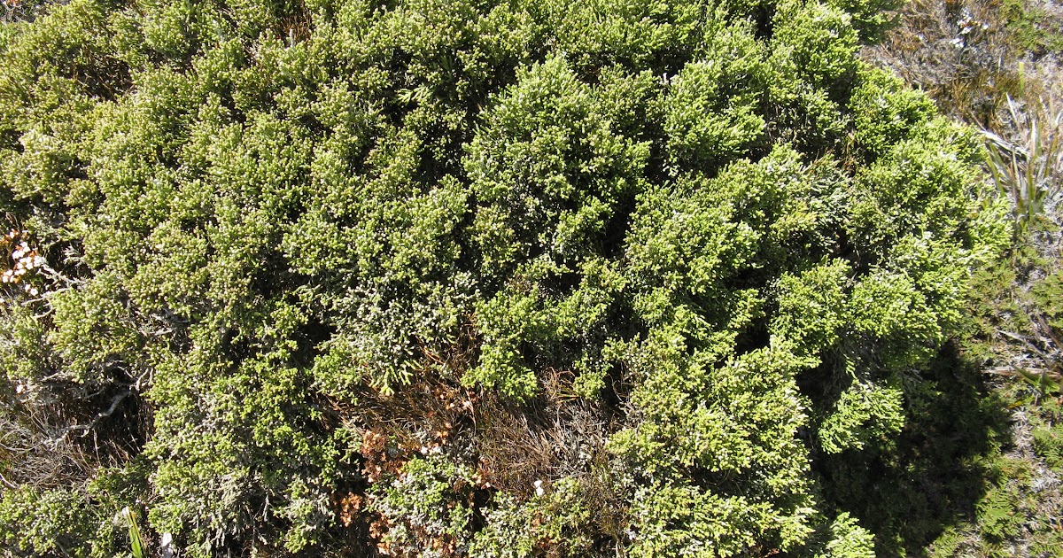
In 2006 when we commenced positioning rocks on the extensive muddy sections, there was plenty of clear dirt or herbs at the edges of the rocks. However over the years the recovery has been so good that vegetation was starting the press over them, but it wasn’t until this was cut back that we realised how far it had grown. In many instances we discovered the rock edge was hidden by 10-15cm of growth at ground level.
Photos of work to do - Boggy sites
Photos of work to do - Boggy sites
Extra rocks are needed in muddy and wet spots on plateau prior to the moor There are two locations and none al that extensivwe.

Boggy Site 1

Boggy Site 2

Boggy Site 3


Further examples of small areas needing some rock to harden

Photos of the area over time
Photos of the area over time
There are more photos that show the before and after situation for particular photopoints. at this page

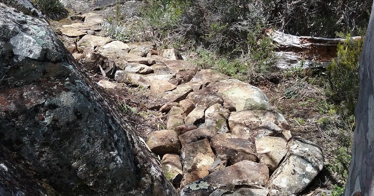
Rockwork - photo by Sue Jan 2012 Vegetation clear of rocks

Track on plateau 2012

Plataea area 2006

Plateau area 2006 after rocks added

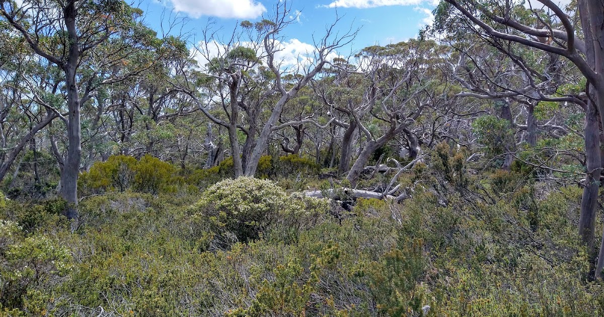
Recovering vegetation on the flat area prior to the saddle on Field East track. This once heavily trampled and muddy area has almost fully recovered.
26 February 2018
November 2021 Updates
November 2021 Updates

Although looking wet after extended rainfall, it is no longer a churned up bog November 2021

This was a deep bog caused by people trying to cross the area and is gradually recovering, with vegetation now becoming established . Photo November 2021

This spot was once muddy and degraded Photo Nov 2021

This was also once muddy and degraded
Photo Nov 2021
PhotoPoints
PhotoPoints
The track from Lake Fenton to Mount Field East has two areas where photopoints were established and before and follow up photos are kept. It is at this webpage.
Events History
Events History

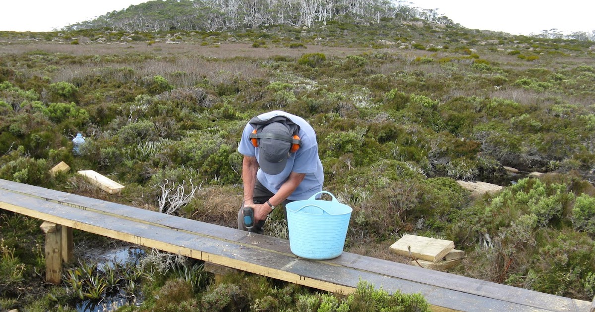
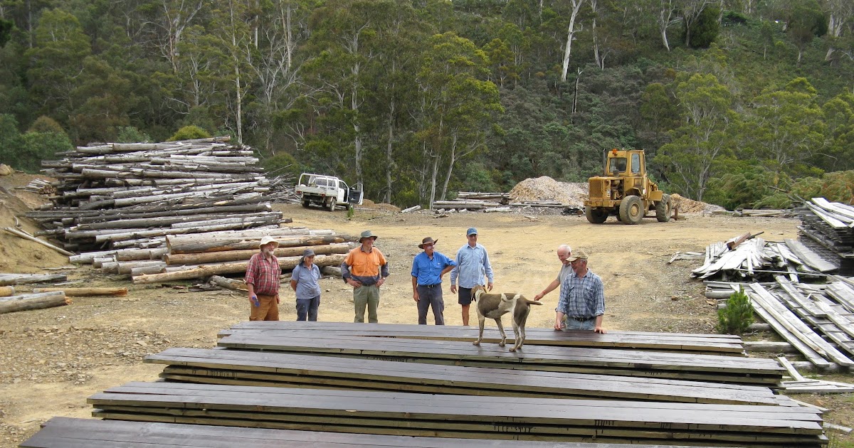
Wildcare Grant Funding 2020
In early 2020 a grant was obtained from Wildcare in part to enable timber to be delivered to a site prior to Windy Moor needing attention. This short section of planking has been completed.

Page updated
Google Sites
Report abuse